


We offer a variety of drone services for multiple applications..
Drone Services
-

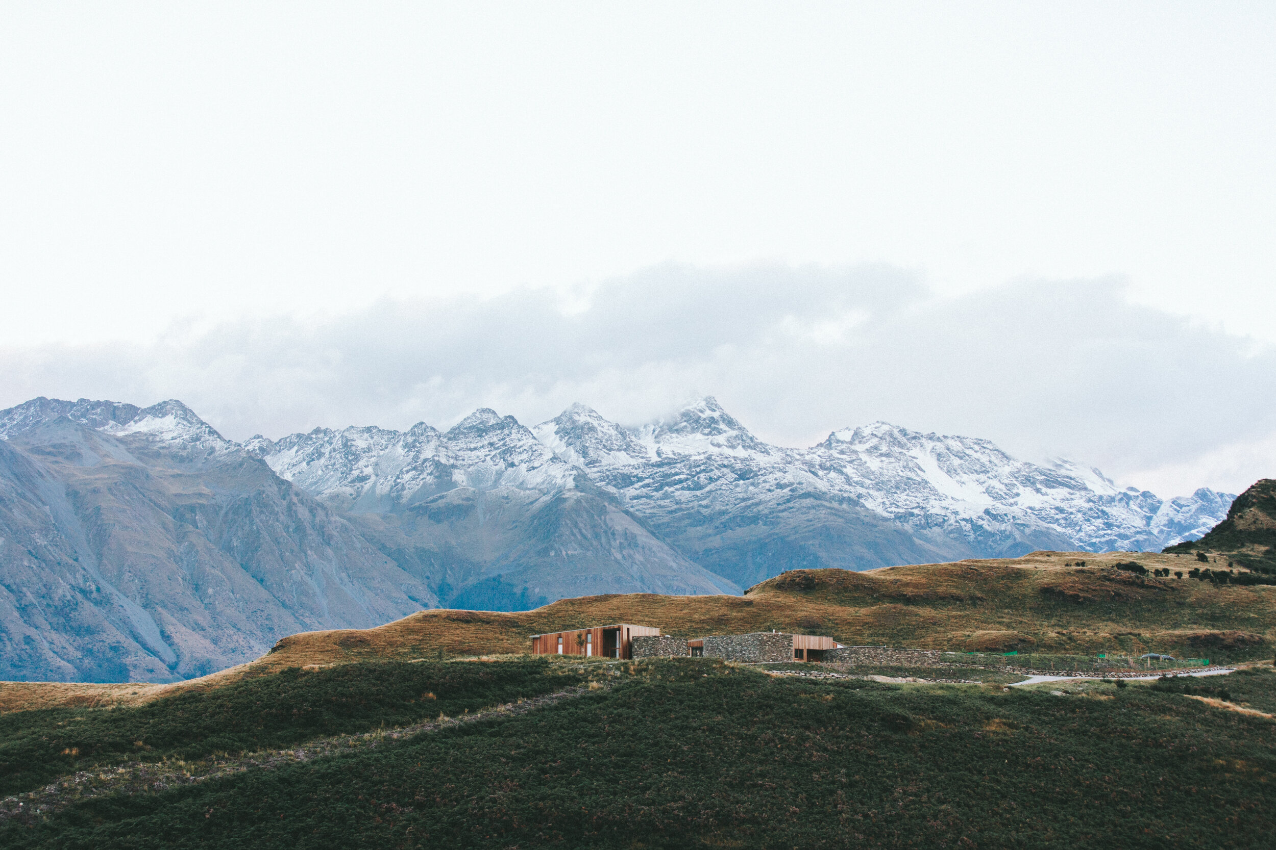
Aerial Surveying & Mapping
Using advanced drones equipped with high-resolution cameras and GPS systems, we provide accurate topographical maps, 3D models, and volumetric calculations. Ideal for construction sites, land development, and agricultural planning, our surveys help you make informed decisions quickly.
-
Thermal Imaging & Infrared Inspections
Our thermal imaging drones identify energy inefficiencies, electrical faults, and potential hazards in solar farms, buildings, and industrial equipment. These inspections are invaluable for ensuring safety, optimizing performance, and reducing operational costs.
-

Construction Progress Monitoring
Stay on top of your project’s progress with our real-time aerial monitoring. We provide comprehensive visual updates and progress reports, helping construction managers and stakeholders track timelines and make proactive adjustments.
-

Renewable Energy Site Surveys
From solar panel installations to wind turbine placements, our drone surveys optimize site selection and performance. We offer shading analysis, thermal evaluations, and suitability assessments to maximize efficiency for renewable energy systems.
-

Infrastructure Inspections
Safely inspect critical infrastructure such as bridges, powerlines, towers, and pipelines with drones. We deliver high-resolution visuals to identify wear, structural damage, or potential hazards, minimizing risks and costs.
-
Thermal Heat Loss Inspections
Detect heat loss, insulation gaps, and areas of energy inefficiency with our thermal drone inspections. Ideal for homeowners, energy auditors, and property managers, our services provide detailed thermal reports to help improve energy efficiency and lower utility costs.
-

Roof Measuring Service
Our drones provide precise measurements for roof dimensions and surface area calculations, perfect for contractors, solar panel installers, and roofing professionals. Get highly accurate data without the need for scaffolding or manual measurements, saving time and reducing risks.
-

Plant Health Analysis
Monitor crop and vegetation health with our advanced multispectral and thermal imaging drones. We provide detailed insights on plant stress, disease detection, water management, and nutrient deficiencies. This service is perfect for farmers, landscape managers, and agriculture specialists looking to optimize yield and reduce input costs.
-

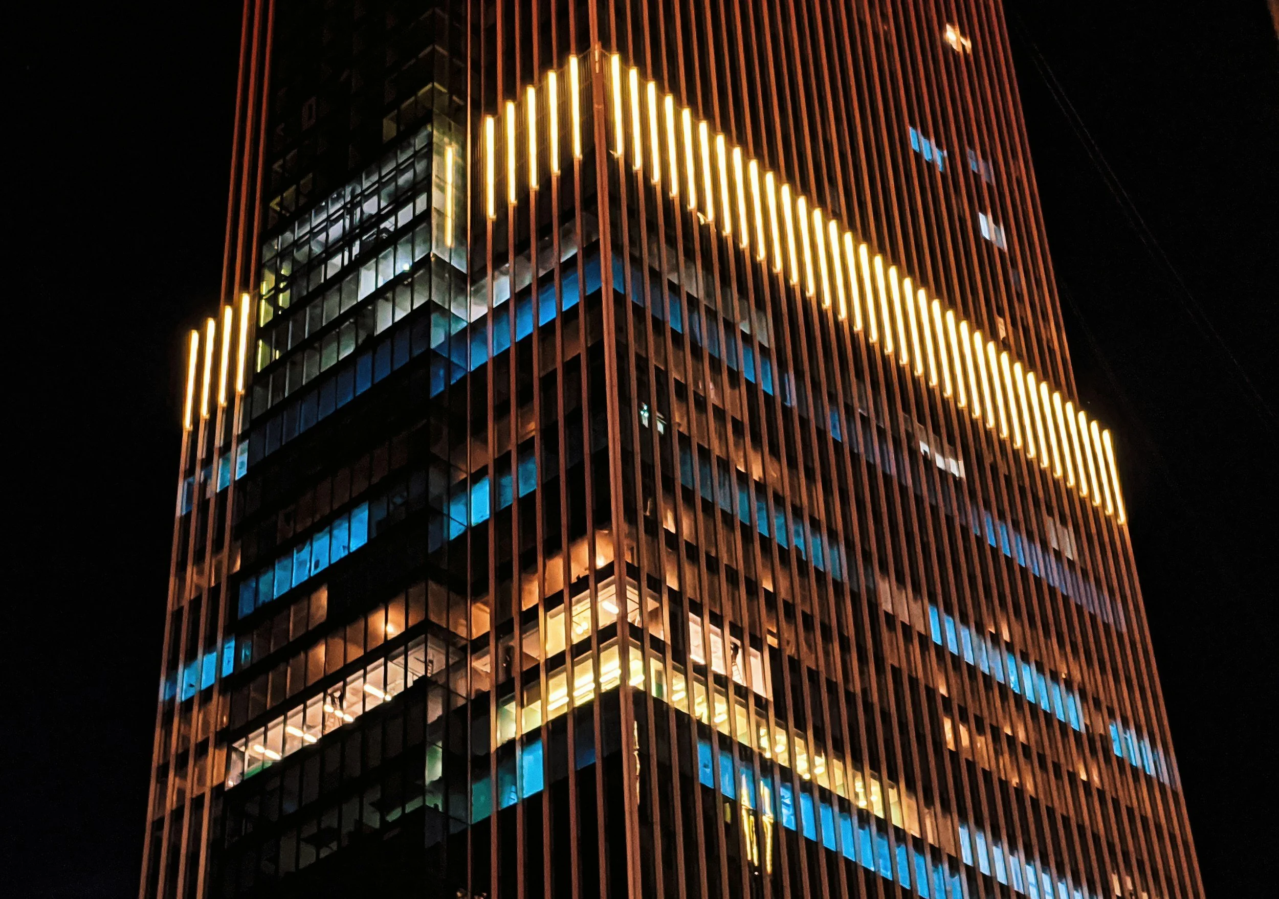
Marketing and Media Production
Capture breathtaking visuals with our aerial photography and videography services. Perfect for real estate, events, and business promotions, our drones provide stunning content that elevates your marketing campaigns.
Why Choose Air Scan Drone Services?
Certified Expertise: Operated by A2 CofC-qualified pilots.
Advanced Equipment: Cutting-edge drones like the Mavic 3E and Autel Explorer with thermal and multispectral imaging capabilities.
Cost-Effective Solutions: Save time, reduce risk, and lower operational costs.
Precise Results: High-resolution imagery and detailed analytics ensure you get the data you need.
Industries We Serve
Construction and Development
Renewable Energy
Property Management
Insurance and Claims
Agriculture and Land Surveying
Plant Health and Crop Monitoring
Energy Auditing
Marketing and Media
Infrastructure Maintenance
Contact Us
Let us take your projects to new heights with professional drone services tailored to your specific needs. Whether you’re monitoring plant health, improving energy efficiency, or creating stunning visuals, Air Scan Drone Services is here to help.
Ready to elevate your project? Get a quote today!